
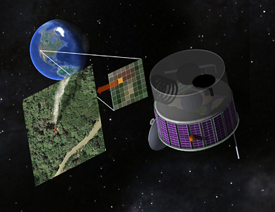
Scientists from University of California, Berkeley propose a fire-spotting satellite which could view the Western United States almost continuously, snapping pictures of the ground every few seconds in search of hot spots that could be newly ignited wildfires. Firefighting resources could then be directed to these spots in hopes of preventing the fires from growing out of control and threatening lives and property.
These scientists have designed such a satellite using state-of-the-art sensors and written analysis software to minimize false alarm. They’re hopeful it can be built for several hundred million dollars, either by government or private entities. This system is named as Fire Urgency Estimator in Geosynchronous Orbit (FUEGO).
With global warming, wildfires are expected to become more frequent and more extensive. This year alone, California’s firefighting arm, CAL FIRE, has responded to over 6,000 wildfires. Wildfire-prone areas stretching from Spain to Russia could also benefit from their own dedicated satellites.
The idea of a fire detection satellite has been floated before, but until recently, detectors have been prohibitively expensive, and the difficulty of discriminating a small burning area from other bright hotspots, such as sunlight glinting off a mirror or windshield, made the likelihood of false alarms high. Today, computers are faster, detectors cheaper and more sensitive, and analysis software far more advanced, making false alarms much less likely.
